FAQs
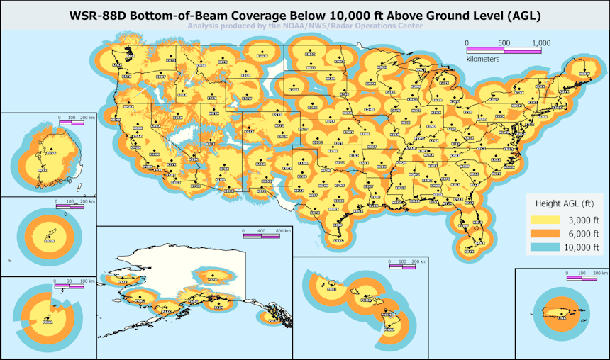
Q: How does this satellite feed differ from Radar?A: While the latency and resolution for weather radars (NEXRAD) are typically better than what is available from weather satellites (GOES), there are some areas where GOES does better. First there are gaps in NEXRAD's coverage, GOES doesn't have this limitation. Second because NEXRAD updates every 2 minutes instead of every 10 minutes and provides data at a 0.25-1 km resolution rather than a 2 km resolution that means it will generate at least 20 times more data. All this additional data greatly increases the storage costs and processing time.

Q: How can I contact you?
A: For any questions, comments, or concerns I can be reached on X.com (formerly Twitter) at the handle @rainmapco or by email at hello@rainmap.co
Q: Where does the data for this map come from?
A: The data comes from multiple sources.
- The map library used is Leaflet.
- The basemap is provided by MapTiler.
- The satellite imagery is provided by GOES-R
A: There a couple reasons GOES rainfall measurements may differ from ground observations.
The first reason is that according to NOAA GOES does not work with certain kinds of clouds.
Because precipitating clouds are opaque in the infrared, the
algorithm attempts to infer surface rainfall rate from cloud-top
temperatures and properties implied by the ABI brightness
temperatures. The result is that rain rates tend to be more
accurate for convective precipitation (where the relationship
between cloud-top temperature and updraft strength is more direct)
than for stratiform precipitation. However, it should also be
noted that thick cirrus anvils can obscure convective
precipitation or sometimes be incorrectly depicted themselves
as producing precipitation. Also, although the algorithm adjusts
for parallax, in high-shear environments with non-vertical rain
shafts the satellite-retrieved rainfall may be shifted relative
to rainfall at the ground. Finally, orographic modulation by
seeder-feeder mechanisms will not be detected by this algorithm
since the "feeder" cloud causing the enhancement will be obscured
by the "seeder" cloud above it.
The second reason is that GOES expiences outages. When this occurs sometimes a message similar to the following will be posted to the SDM Admin Messages page. There is also a GOES Health Dashboard on nasa.gov.
SENIOR DUTY METEOROLOGIST NWS ADMINISTRATIVE MESSAGE
NWS NCEP CENTRAL OPERATIONS COLLEGE PARK MD
0107Z MON MAY 13 2024


...GOES EAST SAT IMAGERY STOPPED UPDATING...

NESDIS reported the following via Email: "All products delivered
to AWIPS, GRB, PDA -Issued: May 13, 2024 0100Z; Date/Time of
Initial Impact: May 12, 2024 0019Z; Date/Time of Expected End:
TBD..Details/Specifics of Change: GOES-16 All Products and
derived products All Scenes delivered to AWIPS, GRB, PDA.
Suspected Source of Anomaly is the Satellite/Instrument".

Shruell/SDM/NCO/NCEP
Given these limitations the GOES data should be used to supplement ground observations rather than to verify them.
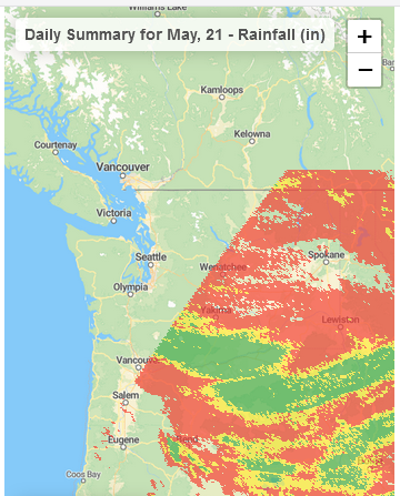
Q: Why isn't there any data for western Washington or western Oregon?
A: These areas are not covered by the GOES Data Quality Flag layer.